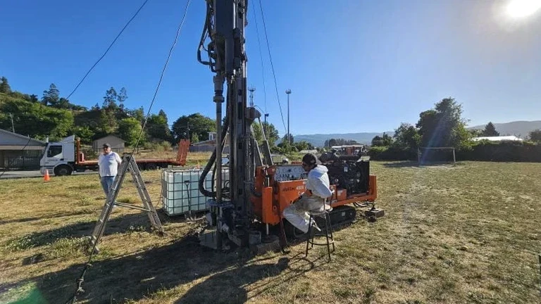
Mesa sits at roughly 1,240 feet elevation on a broad alluvial plain sloping gently toward the Salt River, with subsurface conditions that can shift from clean sands to cobble-rich deposits within a single city block. Contractors breaking ground here quickly learn that borehole data alone doesn't always capture the lateral variability of these fluvial deposits. An exploratory test pit opens a direct window into the stratigraphy, allowing our geotechnical team to log stratigraphic contacts, measure in-situ density with a nuclear gauge right on the pit wall, and collect undisturbed block samples for laboratory strength testing. For projects near the former citrus groves in the eastern corridor or infill sites in the downtown core, a well-placed test pit reveals how decades of irrigation and urban redevelopment have altered the near-surface soils. When foundation designs require confirmation of bearing strata at shallow depth, combining test pit observations with plate load test data gives the engineer a confident picture of allowable settlement.
A properly documented test pit in Mesa's alluvial fan deposits replaces assumptions with measured stratigraphy — and that's the difference between a foundation design that works and one that needs a redesign.
Our approach and scope
Too many grading contractors in the East Valley skip the step of verifying undocumented fill, only to encounter buried construction debris or old agricultural sumps that halt production and trigger costly change orders. A single exploratory test pit, excavated to depths of 8 to 14 feet depending on site access and trench safety protocol, eliminates that gamble. Our field crew logs each lift in accordance with ASTM D2487, classifying fine-grained soils by plasticity and coarse-grained soils by gradation, and documents moisture content, cementation, and the presence of caliche stringers — a stubbornly common feature in Mesa's older alluvial fan soils. We photograph the pit faces with a scale bar and record GPS coordinates so the stratigraphic column integrates directly into the geotechnical report. When groundwater is encountered above planned excavation depth, we measure the stabilized level after 24 hours, giving the civil designer a reliable number for dewatering calculations. The entire operation is backfilled and compacted the same day, leaving the pad ready for the next trade.
Local geotechnical context
Mesa's subsurface is dominated by Quaternary alluvial fan deposits shed from the Superstition Mountains to the east — interbedded sands, silts, and gravels with occasional cobble lenses that can deflect a backhoe bucket without warning. These deposits are classified as Site Class C or D under ASCE 7 depending on the depth to competent material and shear wave velocity measured in the upper 100 feet. A test pit that reveals loose, uncompacted silty sand at a depth of 5 feet on a Site Class D profile immediately flags the need for ground improvement or deepened footings before structural drawings are finalized. Collapsible soils, common in the semi-arid climate of the Salt River Valley, present another hazard: dry silty soils that lose strength dramatically when wetted by landscape irrigation or monsoon infiltration. Observing the soil structure in an open excavation lets our team spot the porous, honeycombed fabric that signals collapse potential — something a split-spoon sample from an SPT borehole often misses entirely.
Regulatory framework
ASCE 7-22 (Minimum Design Loads for Buildings and Other Structures), IBC 2021 (International Building Code, Chapter 18 – Soils and Foundations), ASTM D2487 (Standard Practice for Classification of Soils for Engineering Purposes), ASTM D6938 (Standard Test Method for In-Place Density and Water Content of Soil by Nuclear Methods), OSHA 29 CFR 1926 Subpart P (Excavation and Trenching Safety)
Common questions
What depth can you reach with an exploratory test pit in Mesa, and what safety measures apply?
We typically excavate to 8 to 14 feet using a rubber-tire backhoe or track excavator. Any excavation deeper than 5 feet triggers OSHA Subpart P requirements: we either bench the sidewalls at 1.5:1 in Type B soil or install a trench shield with a competent person on site throughout the operation. Mesa's alluvial soils often classify as Type B or C, so we plan the slope geometry during the site walk before mobilization.
How much does a test pit investigation cost for a typical building site in Mesa?
For a single exploratory test pit with full logging, in-situ density readings, sample collection, and a stamped report, costs run between US$440 and US$850 depending on depth, access constraints, and the number of samples sent to the laboratory. Sites requiring traffic control, utility potholing, or multiple pits fall at the upper end of the range.
What's the difference between a test pit and an SPT borehole for a Mesa project?
An SPT borehole gives you a continuous split-spoon record with N-values at 5-foot intervals, which works well for deep stratigraphy and liquefaction analysis. A test pit gives you a continuous exposed face where you can see stratigraphic contacts, measure density directly on undisturbed soil, and take block samples. On Mesa sites with suspected undocumented fill or collapse-prone silts, we often recommend one test pit to calibrate the borehole log, because what you see with your own eyes in an open excavation resolves ambiguities that a split-spoon sample leaves behind.